


Generative AI for Business Leaders
Advertising with Meta
How Google does Machine Learning


دوراتنا
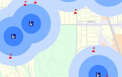
Introduction to GIS Mapping
Get started learning about the fascinating and useful world of geographic information systems (GIS)! In this first course of the specialization GIS, Mapping, and Spatial Analysis, you'll learn about what a GIS is, how to get started with the software yourself, how things we find in the real world can be represented on a map, how we record locations using coordinates, and how we can make a two-dimensional map from a three-dimensional Earth. In the course project, you will create your own GIS data by tracing geographic features from a satellite image for a location and theme of your choice.
-
Course by

-
 Self Paced
-
 14 ساعات
-
 الإنجليزية