


Generative AI for Business Leaders
Advertising with Meta
How Google does Machine Learning


دوراتنا
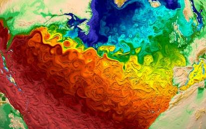
Climate Geospatial Analysis on Python with Xarray
By the end of this project, you will be able to load, visualize, manipulate and perform both simple and grouped operations over geospatial multidimensional data through Xarray and Python.
We'll explore an dataset containing temperature, vegetation density and total precipitation over the Brazilian Amazon for the 1979-2019 period while the concepts are developed.
This will enable the learner to handle and extract knowledge from complex datasets such as the ones from satellite and climate re-analysis observations.
-
Course by

-
 Self Paced
-
 4 ساعات
-
 الإنجليزية

Geospatial and Environmental Analysis
Apply your GIS knowledge in this course on geospatial analysis, focusing on analysis tools, 3D data, working with rasters, projections, and environment variables. Through all four weeks of this course, we'll work throug…
-
Course by
-
Self Paced
-
الإنجليزية