Buy Now Free
- Level Professional
- المدة 2 ساعات hours
-
Offered by

عن
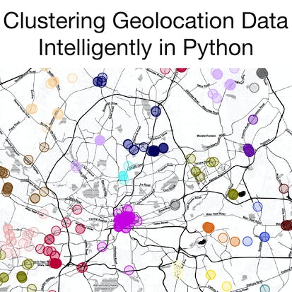
In this 1.5-hour long project, you will learn how to clean and preprocess geolocation data for clustering. You will learn how to export this data into an interactive file that can be better understood for the data. You will learn how to cluster initially with a K-Means approach, before using a more complicated density-based algorithm, DBSCAN. We will discuss how to evaluate these models, and offer improvements to DBSCAN with the introduction of HDBSCAN. Note: This course works best for learners who are based in the North America region. We’re currently working on providing the same experience in other regions.Auto Summary
"Clustering Geolocation Data Intelligently in Python" is a focused and practical course designed for those looking to enhance their skills in IT and Computer Science. Guided by expert instructors from Coursera, this intermediate-level project spans 1.5 hours and delves into the essential techniques for cleaning and preprocessing geolocation data to prepare it for clustering. The course offers a hands-on approach to learning, ensuring that participants gain practical experience. Best of all, it is available for free, making it an accessible option for learners eager to advance their data analysis capabilities using Python. Ideal for individuals with some prior knowledge in the field, this project is perfect for those aiming to expand their expertise in geolocation data processing and clustering.