Buy Now Free
- Level Intermediate
- Duration 4 hours
-
Offered by

About
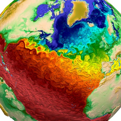
By the end of this project, you will be able to load, visualize, manipulate and perform both simple and grouped operations over geospatial multidimensional data through Xarray and Python. We'll explore an dataset containing temperature, vegetation density and total precipitation over the Brazilian Amazon for the 1979-2019 period while the concepts are developed. This will enable the learner to handle and extract knowledge from complex datasets such as the ones from satellite and climate re-analysis observations. Note: This course works best for learners who are based in the North America region. We're currently working on providing the same experience in other regions.Auto Summary
Elevate your geospatial analysis skills with "Climate Geospatial Analysis on Python with Xarray." This intermediate-level course, offered by Coursera, focuses on loading, visualizing, and manipulating geospatial multidimensional data using Xarray and Python. Over 240 minutes, you'll master both simple and grouped operations, ideal for IT and computer science enthusiasts. Enroll for free and enhance your data analysis capabilities.